 EN

 EUR



The Orcières country
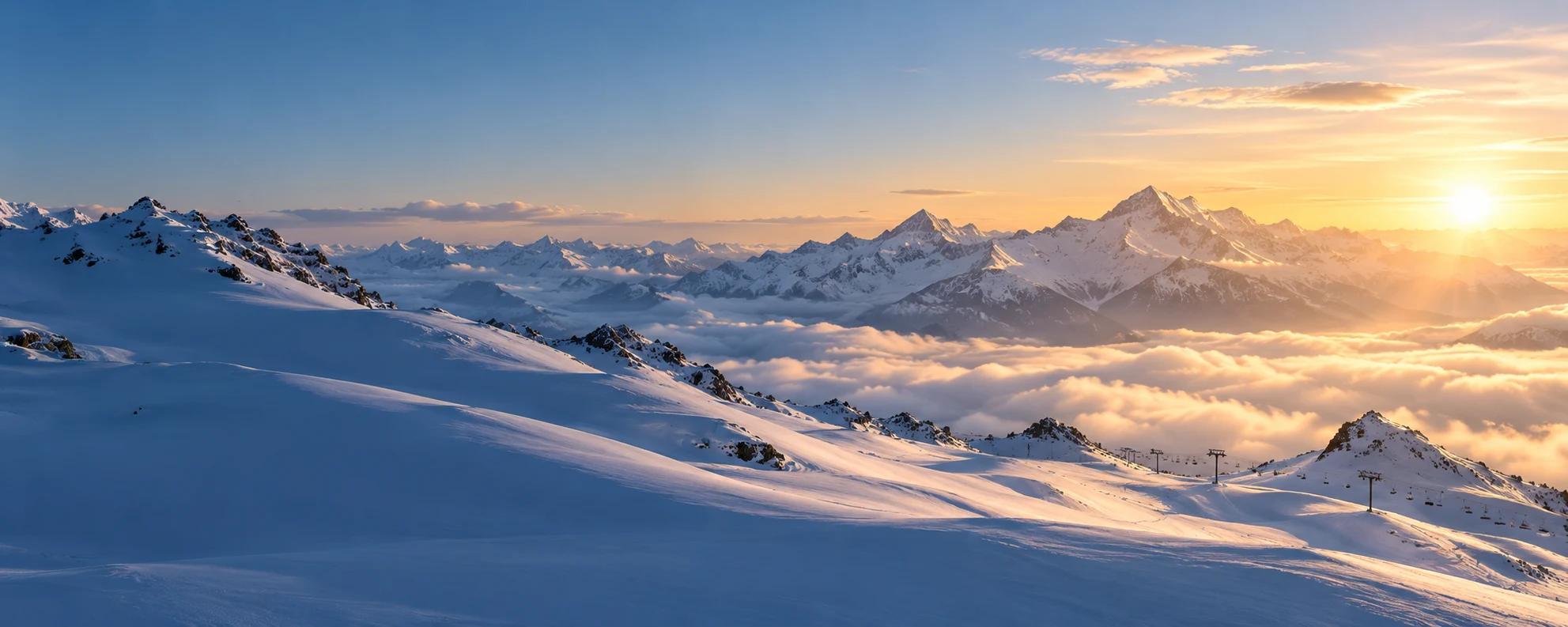
Between the Drac Noir and the Écrins National Park, the commune of Orcières — 651 inhabitants, INSEE code 05096 — climbs from its village seat at 1,400 m up to the massif’s high summits. Its parish church of Saint-Laurent dates back to the 14th century. The country keeps the bear’s memory: « Oursières », the place of bears, so many did the valley once hold.
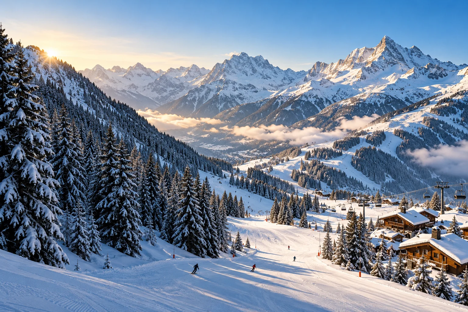
Five kilometres higher up, at 1,850 m, on a south-facing slope backed by the Creuset and the high pastures of Prapic, the Orcières Merlette 1850 resort owes its existence to a handful of locals led by mayor Camile Ricou, who opened the first ski lift in January 1962. A self-declared pioneer: France’s first children’s snow garden in 1967, France’s first gondola-and-chairlift mix (télémix) in 2003, Europe’s biggest zip-line in 2009.
More than twenty hamlets make up the commune — Serre-Eyraud (1,450 m), Les Audiberts (1,460 m), Archinard (1,600 m), Les Estaris (1,700 m), Prapic… — and the free O2 Area–resort shuttle, from the park-and-ride sites perched at 1,300 m, lets you see it all without a car.
4 official sources
Sources · Site officiel d’Orcières Merlette 1850 — « La station » (histoire, altitude, domaine) (consulted on 19/11/2026) · Site officiel — « Le village d’Orcières et ses hameaux » (consulted on 19/11/2026) · API géographique officielle de l’État — commune d’Orcières (05096, population, centre) (consulted on 19/11/2026) · Comité départemental du tourisme des Hautes-Alpes — fiche Orcières Merlette 1850 (consulted on 19/11/2026)