 EN





Born of the village drowned by the dam, perched at 2,100 m
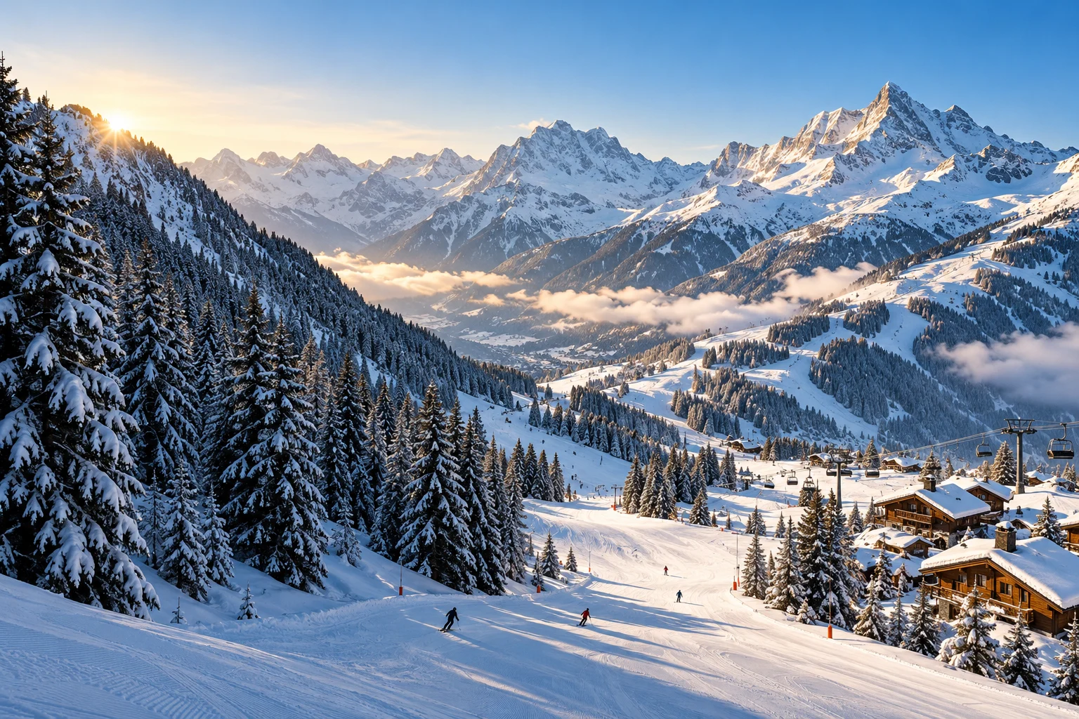
“After the dam was built in 1952 and Old Tignes drowned under the waters, Tignes bounced back and rose in altitude, settling at 2,100 metres, in the heart of a unique 360° cirque,” the resort’s official villages page recounts. The villages read out by altitude: “Les Brévières - 1800 - Lavachet - Lac - Val Claret,” from the foot of the dam — “at the foot of the dam, at 1,550 metres, lies the village of Les Brévières” — up to the quarters of Tignes 2100.
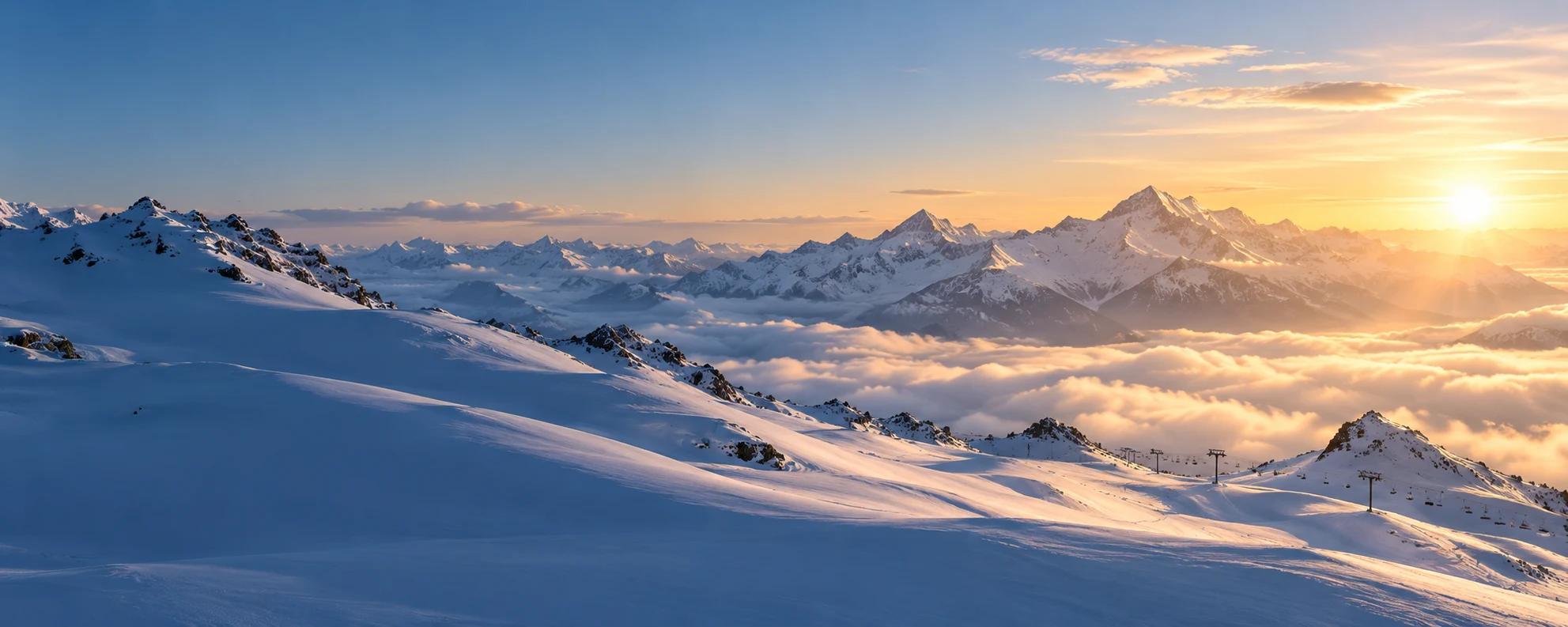
The official site sums up the promise in one line: “guaranteed snow, 300 km of pistes, 78 ski lifts.” On the other side of the domain, Val d’Isère’s site describes the “vast ski domain of more than 300 km of pistes, shared with Tignes” and the “Legendary Espace Killy domain”.
State official register (geographic API, consulted 19/11/2026): commune of Tignes, INSEE code 73296, postcode 73320, 1,919 inhabitants, 91.33 km². In the banner, three figures carried by two concordant official sites: the domain’s 300 km, the low point at 1,550 m and the high point “more than 3,400 m” — Tignes publishes 3,456 m on the Grande Motte glacier and Val d’Isère “more than 3,400 m”, so the common lower bound is what we display. The village altitude, published by Tignes alone, and the 78 lifts, published by Tignes alone, stay in the text.
4 official sources
Sources · Site officiel de Tignes — page « Découvrir la station » (« une neige garantie, 300 km de pistes, 78 remontées mécaniques ») (consulted on 19/11/2026) · Site officiel de Tignes — page « Les villages de Tignes » (« s’installer à 2 100 mètres d’altitude, au cœur d’un cirque unique à 360° » ; « au pied du barrage, à 1 550 mètres d’altitude … Les Brévière (consulted on 19/11/2026) · Site officiel de Val d’Isère — page « Domaine skiable » (« vaste domaine skiable de plus de 300 km de pistes, partagé avec Tignes » ; « Légendaire domaine Espace Killy ») (consulted on 19/11/2026) · API géographique officielle de l’État — commune de Tignes (73296, 73320, 1 919 habitants, 91,33 km²) (consulted on 19/11/2026)